SLAM and mapping
Create 2D or 3D maps while localizing using LiDAR or camera data.
 Yokaï Robotics
Mobile robotics engineering
Discuss your project
Yokaï Robotics
Mobile robotics engineering
Discuss your project
Autonomy
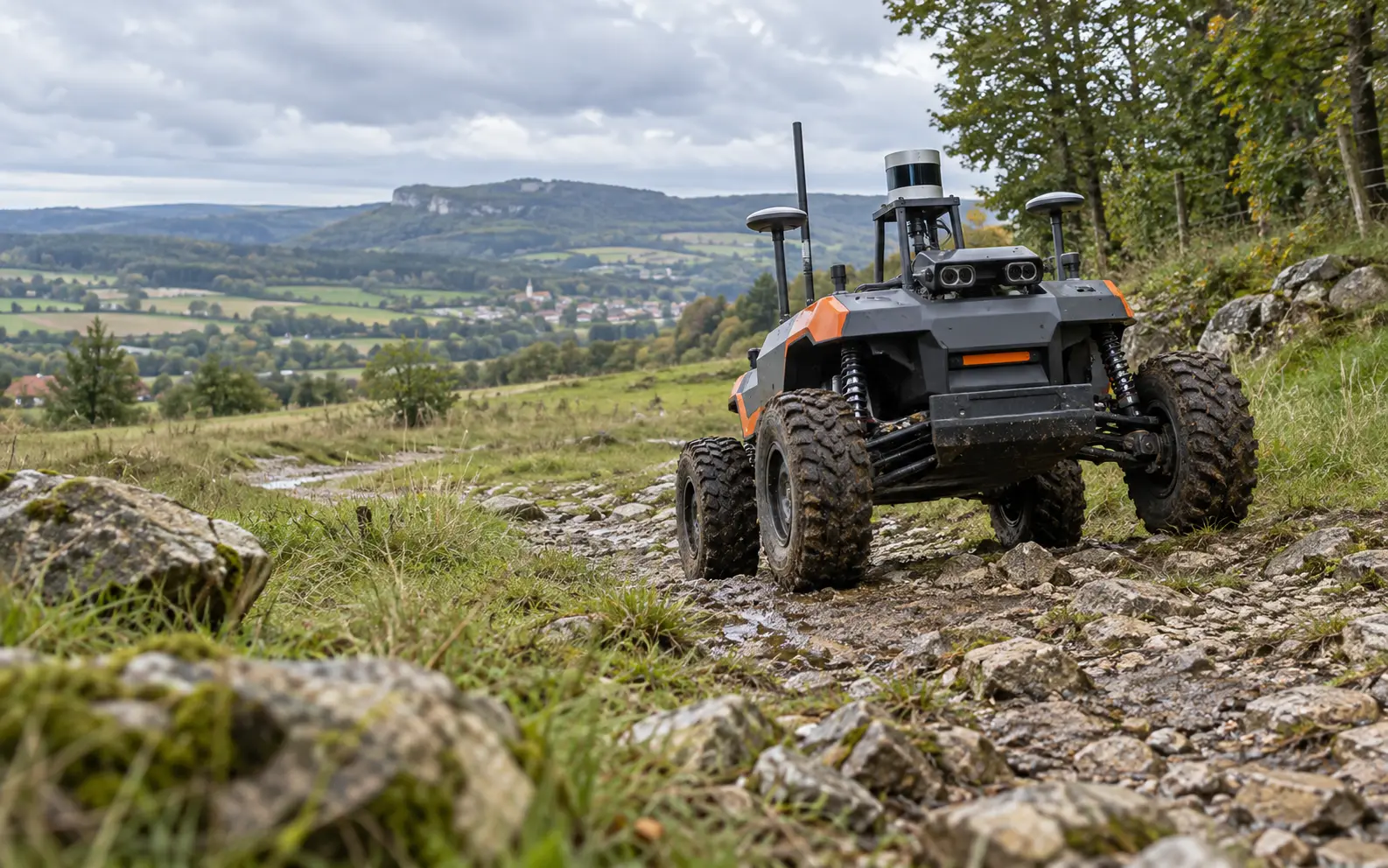
We develop the algorithms that enable a mobile robot to understand its environment, localize itself and reach its destination safely.
Navigation
Localization
Create 2D or 3D maps while localizing using LiDAR or camera data.
Combine odometry, IMU, GNSS, cameras and LiDAR for robust pose estimation.
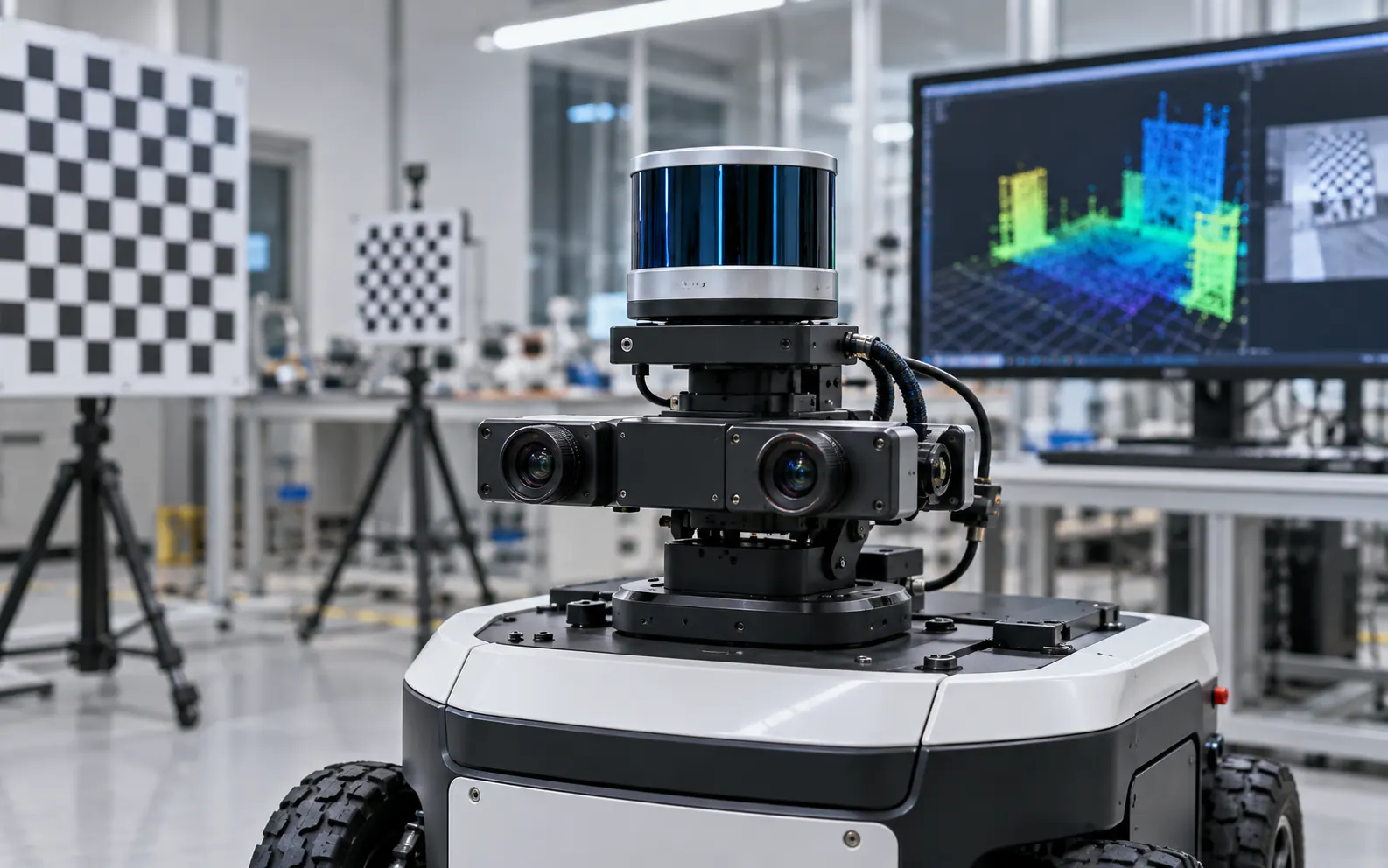
Intrinsics, extrinsics and time synchronization to make measurements consistent.
Perception
Validation
We define scenarios and metrics: localization error, success rate, safe distance, oscillations, travel time, CPU load and behavior under degraded conditions.
FAQ
The choice depends on range, lighting, surfaces, computing budget and objects to detect. The two technologies are often complementary.
Yes. We analyze measurement quality, calibration, TF frames, odometry and fusion parameters before adjusting the algorithm.
Yes. Simulation accelerates development and regression testing, followed by parameter validation on the real robot.
Project
Describe its environment, sensors and observed limitations.